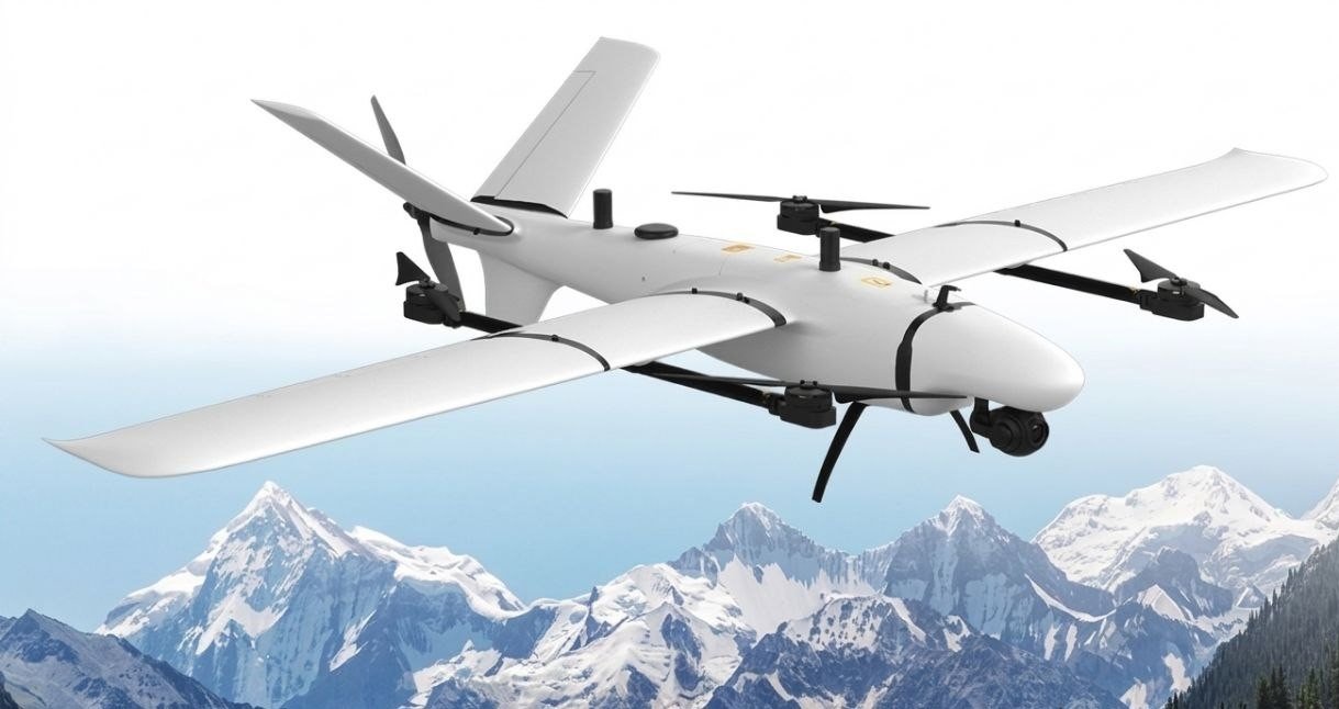
Kestrel
A high-performance vertical take-off and landing survey UAV engineered for unmatched versatility, featuring an innovative interchangeable payload nose system.
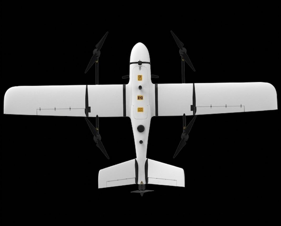
Three Pods.
One Quick-Swap Bay.
Swap mission payloads in under 60 seconds — no tools required. The Kestrel adapts to your operational needs instantly.
Orthophoto Pod
High-resolution nadir imaging for precision mapping and large-area survey coverage.
Sub-cm GSD · 42MP sensor · RTK/PPK
Tilt Camera Pod
Oblique capture for photogrammetric 3D modeling and accurate facade reconstruction.
45° tilt · 3D mesh output · texture mapping
EO/IR Pod
Electro-optical and infrared payload for real-time surveillance, SAR, and thermal monitoring.
Dual-sensor · live downlink · target tracking
Engineering
Excellence.
Optimized aerodynamics combined with high-density energy storage delivers category-leading performance and endurance.
Endurance Breakdown
Built for the
Toughest Missions.
From agricultural plains to remote mountain infrastructure — the Kestrel delivers survey-grade data where manned operations simply cannot reach.
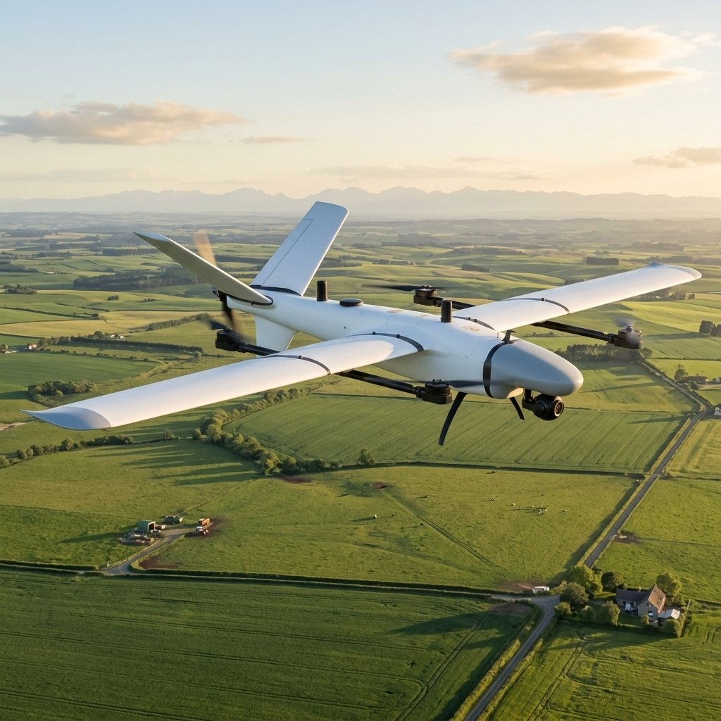
Precision Agriculture
Large-area crop health mapping, NDVI analysis, and yield prediction across diverse terrain. Cover hundreds of hectares per flight with sub-centimeter accuracy.
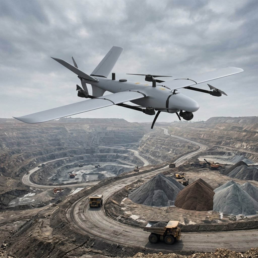
Mining & Volumetrics
Automated stockpile measurement, pit progression tracking, and haul road planning with survey-grade volumetric accuracy.
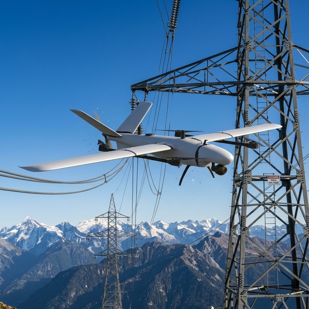
Infrastructure Inspection
Power line corridor mapping, pipeline monitoring, and transmission tower inspection without manned helicopter risk.
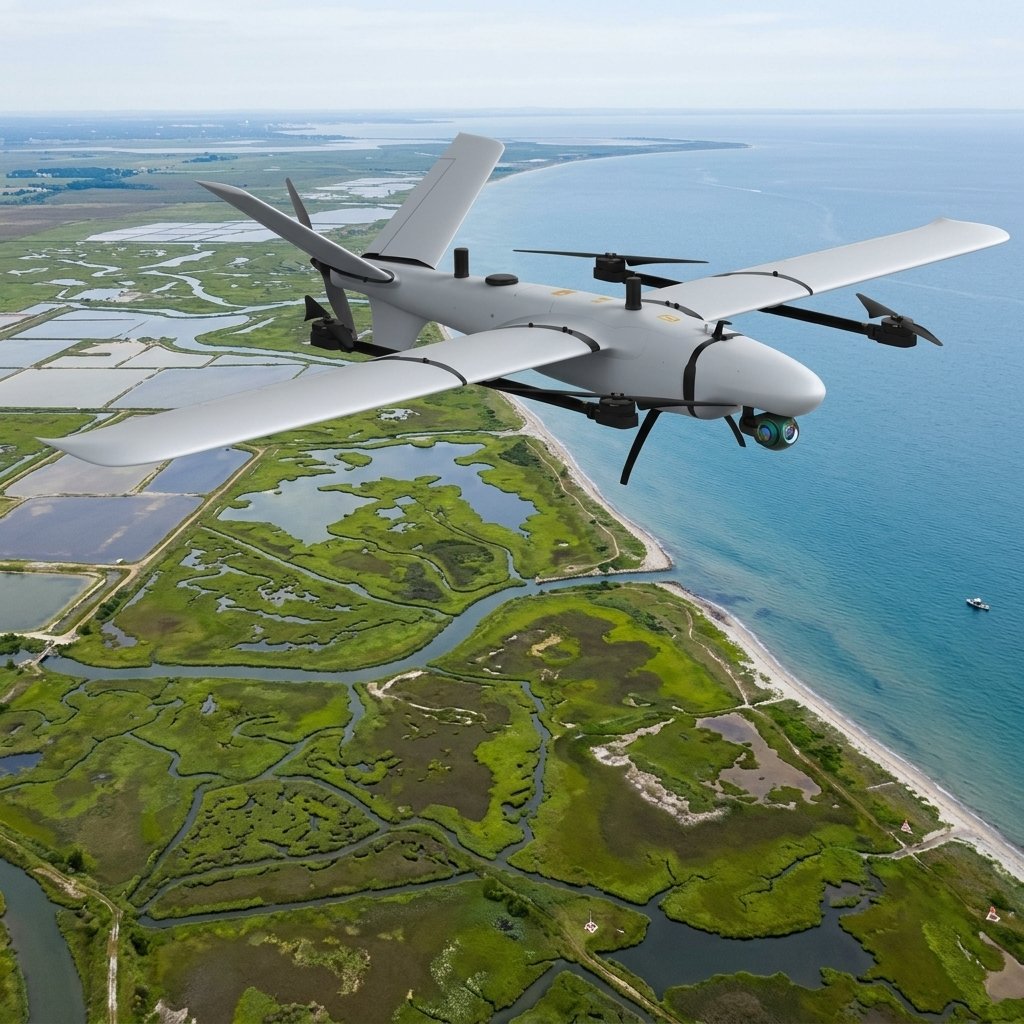
Environmental Monitoring
Coastal erosion tracking, wetland mapping, forest inventory, and wildlife habitat assessment over vast natural areas.
Elevate Your Operations
Contact us today to discuss payload configurations, training, and how the Kestrel can integrate into your existing fleet.